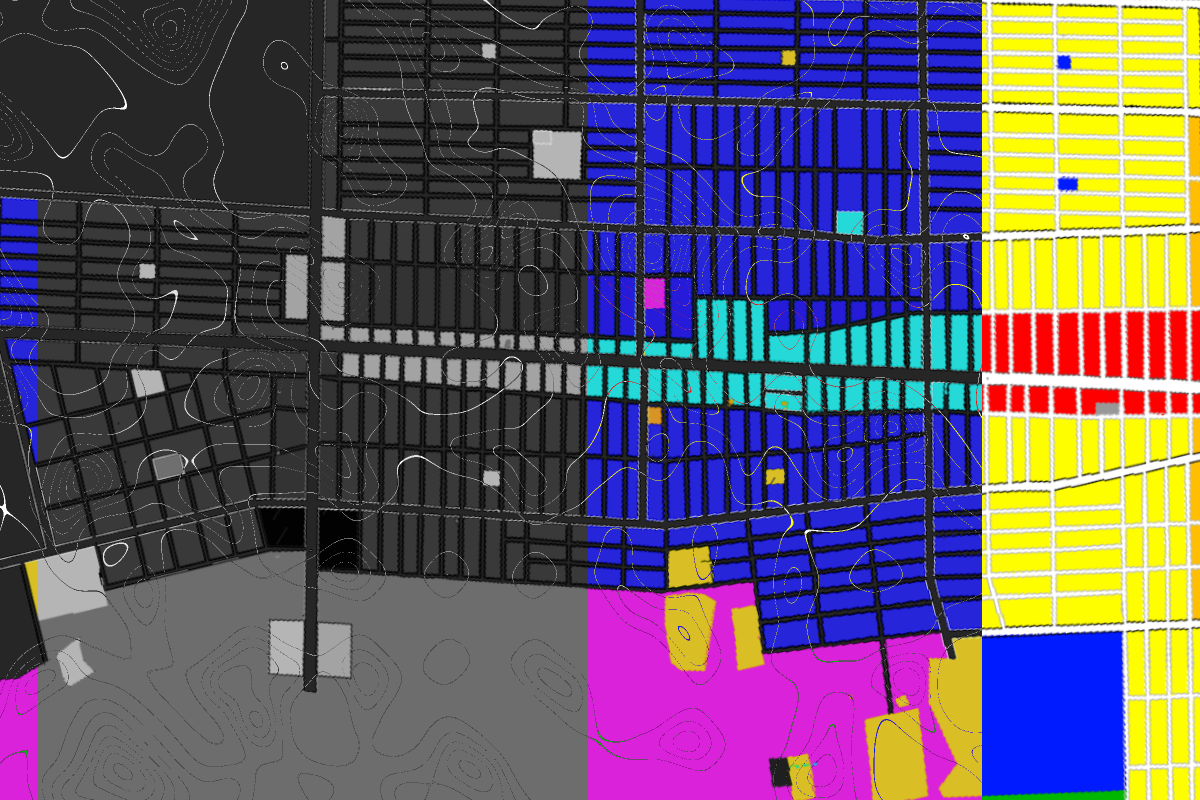
Client: Bureau of Urban Development, Trade & Industry, Tigray Region
Firm: Yohannes Abbay Consulting Architects & Engineers
Location: Western Tigray, Ethiopia
Year: 2015
Project Type: Commissioned Urban Basic Plan
Context & Mandate
Adebay-Hilet Kokah, a fast-growing linear town along the Humera–Shire corridor, was designated for structured planning due to its strategic trade location, growth pressure, and infrastructural deficiencies. The planning mandate came from the Tigray Regional Government, aiming to prepare a 10-year basic plan covering land use, infrastructure, housing, social services, and economic integration.
This project was commissioned to address:
- Rapid urbanization and projected population surge (15,430 in 2014)
- Weak road networks and informal urban patterns
- Climate-related discomfort in urban form
- Socio-economic marginalization of the Kunama population
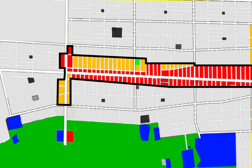
Planning Philosophy
Vision:
An environmentally sustainable, livable, and decentralized town, capable of accommodating growth while balancing climate, identity, and equity.
Core Objectives:
- Break the mono-linear growth pattern
- Distribute services equitably across ethnic zones
- Introduce environmental design for harsh climatic conditions
- Establish urban-rural economic linkages
Strategy & Interventions
Urban Form:
- Shift from linear to multi-nodal by introducing secondary centers off the main arterial
- Designated expansion zones to the north and infill development to the east/west
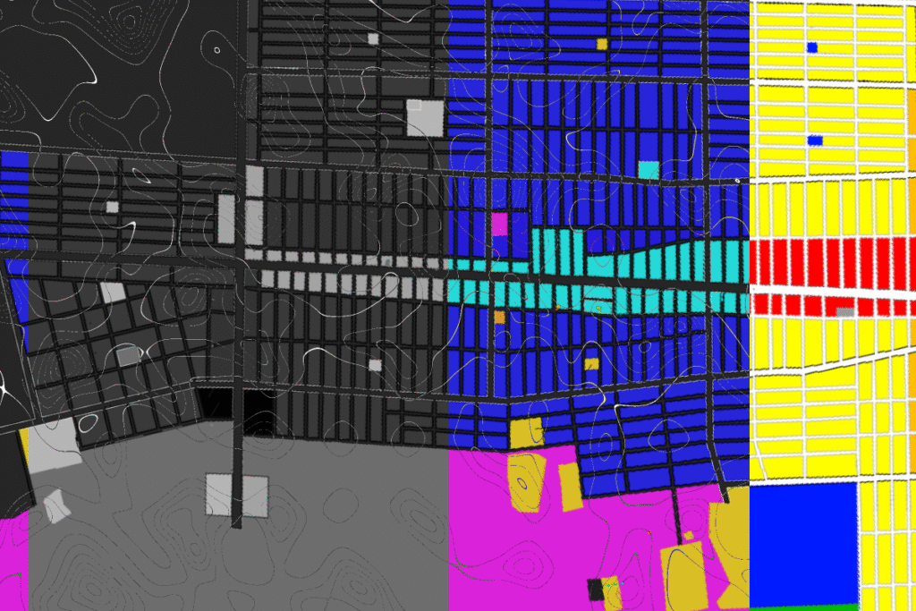
Land Use Allocation:
- Rebalanced mix of residential, commercial, institutional, and green zones
- Creation of service corridors (e.g., livestock markets, mixed-use hubs) on perpendicular 30-meter boulevards
- Public service zones (school, health, cemetery, sanitation) were realigned to match community access needs
Infrastructure:
- Reinforcement of the existing gridiron street pattern
- Addition of shaded boulevards with green buffers for climate-responsive urbanism
- 10/20/30 meter road hierarchy supporting bikes, pedestrians, and vehicles
- Strategic drainage and stormwater design based on natural hydrology
Social Design:
- Special focus on equitable service provision to the Kunama community
- Public toilets, healthcare, education, and market access re-distributed
- Civic zones and cemeteries are integrated into the plan using religious/cultural alignment
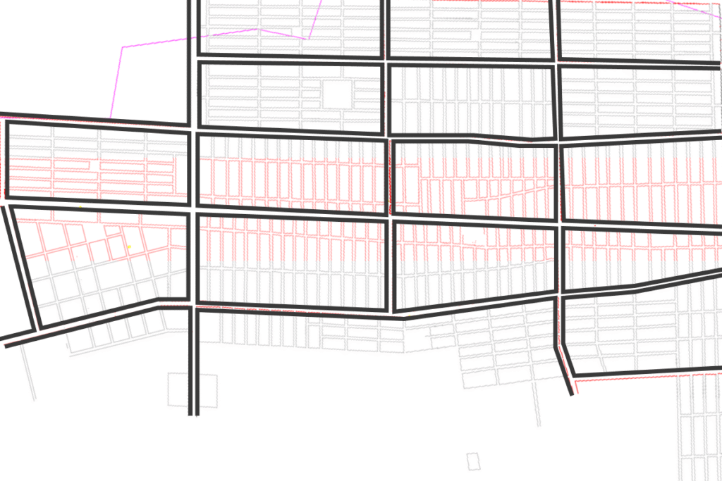
Environmental Measures
- The forest belt on the southern edge serves as a cooling buffer
- Green corridors are extended along roads for heat mitigation
- Plot sizes optimized for urban agriculture and backyard planting
- Emphasis on walkability and shade to reduce motor dependency
Takeaways
This was not just a zoning exercise. It was a strategic urban intervention rooted in justice, geography, and future-readiness. The project demonstrated how spatial planning could:
- Heal climatic discomfort
- Address social imbalance
- Rewire growth trajectories from extractive to inclusive
It exemplifies contextual urbanism: where the built form follows both terrain and tradition, adapting to people as much as it leads them.
Brook Abebe
Urbanist. Strategist. Platform Architect
For inquiries or collaboration: [contact]

